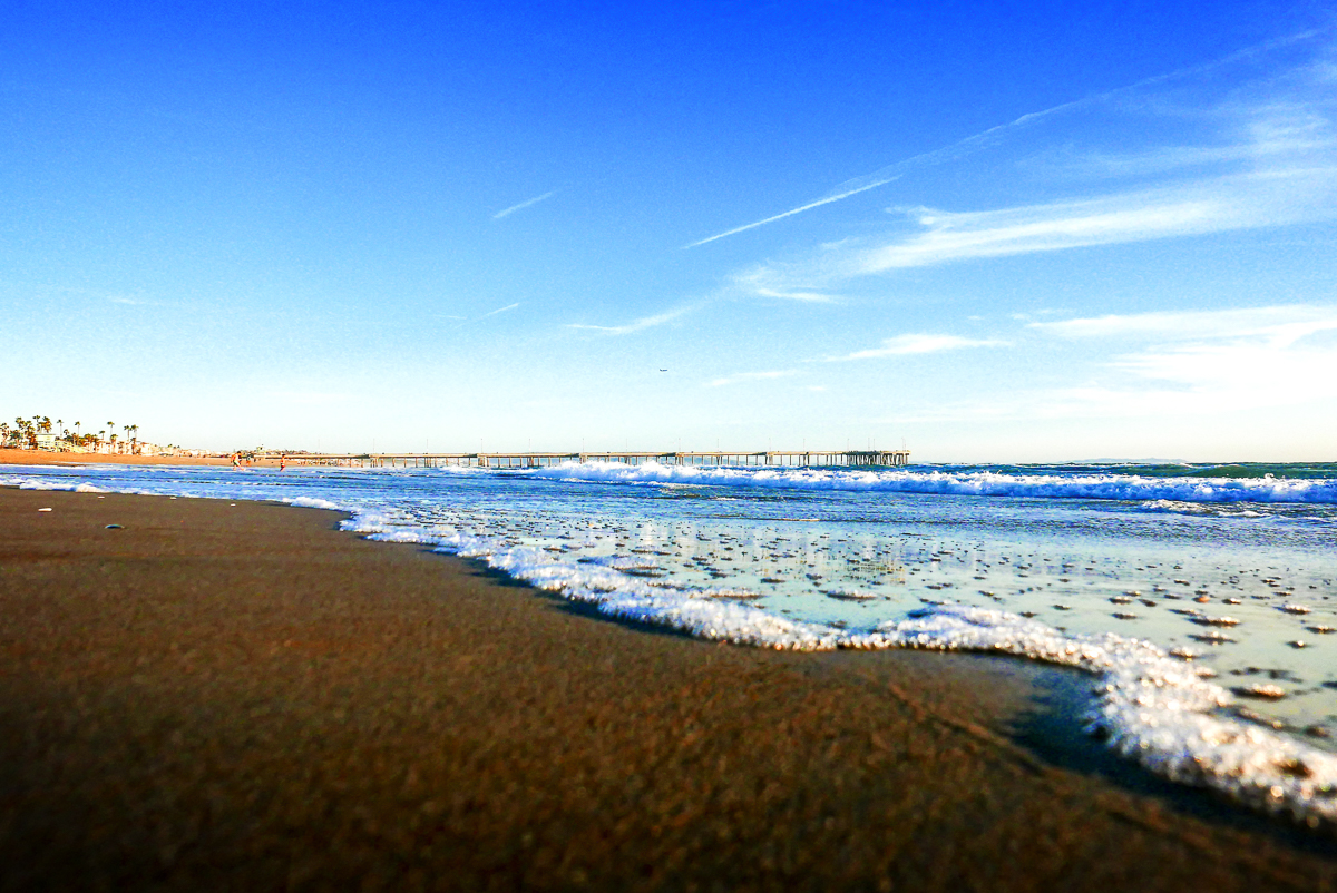
Photo credit: Steve Christensen Photo
8:38am
You may want to invite your friends to the beach today…or at least don’t lose your parking spot. Today is expected to be the worst day of this week’s heat wave in the Southland, with temperatures dropping only slightly on Saturday before falling into a more manageable range starting Sunday.
With heatwave temperatures of well over 100 degrees expected throughout the
valleys, we can expect a wave of visitors to beach. The National Weather Service has issued an excessive heat warning for the valleys and mountains through Saturday evening.
The NWS also warned of increased fire danger as the hot temperatures
combine with dry conditions and gusty winds. A red flag warning is in effect
until midnight Saturday in the Los Angeles County Mountains, Angeles National
Forest and Antelope and Santa Clarita valleys.
Today’s highs will hit the mid-80s at the beaches and the upper 90s to
triple digits inland, with temps hovering around 105 to 110 degrees in parts of
the San Fernando, Santa Clarita, San Gabriel and Antelope valleys.
The Los Angeles County Department of Public Health issued a heat alert
for the Los Angeles Basin, the Pomona area and the valleys. Forecasters warned that the triple-digit heat could present a danger to some residents, and demand for electricity could be high, creating the possibility of outages.
“Never, ever leave people or pets in enclosed vehicles, even for a
short period of time,” the NWS warned. “Take extra precautions if you work or
spend time outside. When possible, reschedule strenuous activities to early
morning or evening. Know the signs and symptoms of heat exhaustion and heat
stroke. Wear light weight and loose-fitting clothing when possible and drink
plenty of water.”
NWS officials noted, however, that the heat wave is not expected to
break local records.
“Friday through Sunday mark the 10-year anniversary of one of the
hottest events on record for any month…Woodland Hills hit 119 on July 22,
2006, the all-time high for any of our climate stations,” according to the
Weather Service.
Inland areas could see higher-than-normal temperatures as late as next
Tuesday, although coastal areas should see some cooling beginning Sunday,
forecasters said.


