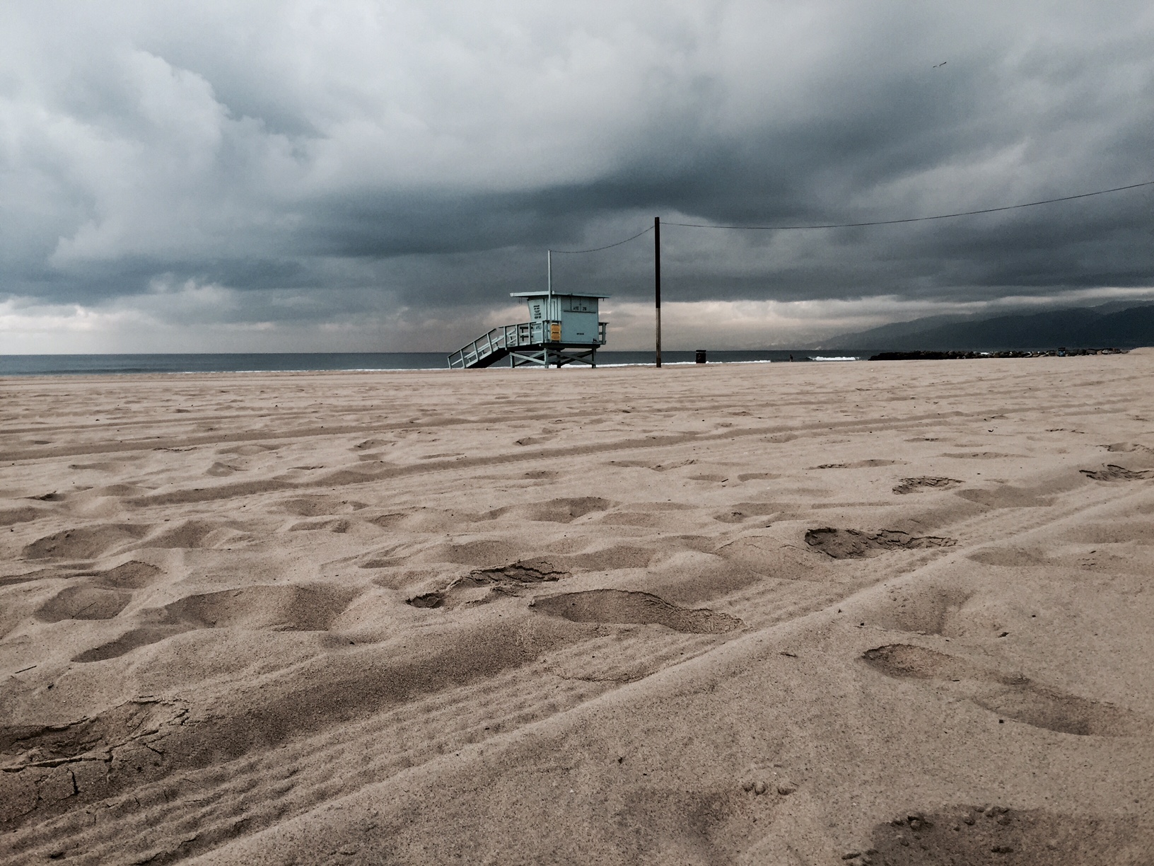
A “potent” fast-moving storm will hit the Southland Friday afternoon, the National Weather Service said today. The storm is expected to bring a period of moderate to occasionally
heavy rain lasting three to five hours, followed by scattered showers, an NWS statement said.

The rain will start on the Central Coast by mid-morning Friday, then
reach the Los Angeles basin during the mid to late afternoon hours, turning to showers mid-evening, it said. The showers will end by late Friday night.
Also expected Friday afternoon and evening are gusty winds, especially in the San Gabriel Mountains and the Antelope Valley, according to the NWS. Additionally, there is a slight chance of of waterspouts and thunderstorms, which could unleash small hail.
There could be enough rain to trigger mud and debris flows over slopes previously denuded by wildfire, especially if thunderstorms develop, the statement said.
Rainfall totals are expected to average a half-inch to 1.5 inch, with
the higher amounts expected in the Central Coast. In the Antelope Valley, a quarter-inch to a half-inch is expected.
The snow level will start out high but fall to between 5,000 and 5,500 feet Friday evening and later, to 4,500 feet, according to the NWS. It said there is a slight chance that snow could fall on portions of Interstate 5 near The Grapevine. Between four and eight inches of snow are expected above 6,000 feet, NWS forecasters said.
The NWS forecast said today’s mild, above-average temperatures will be followed by a sharp cool down tomorrow with Friday’s highs up to 13 degrees lower than today in some communities.
-from CNS


